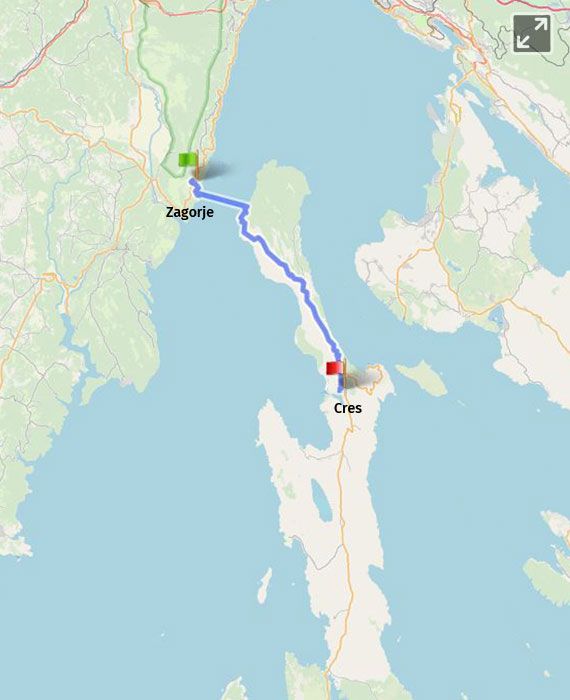
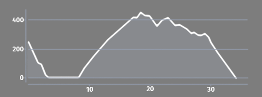
Zagorje na cesti D66/D402 (4 km) - Brestova/Porozina (trajekt - 3 km) - Predošćica (18 km) - Cres (29 km) |
|
distance 29.00 km |
|
start Zagorje |
|
end Cres |
|
total climb 520.00 m |
|
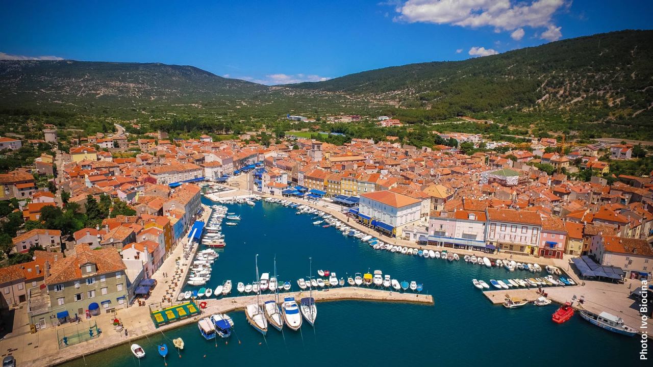
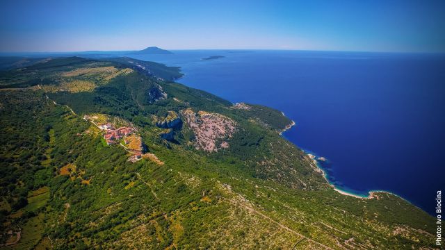
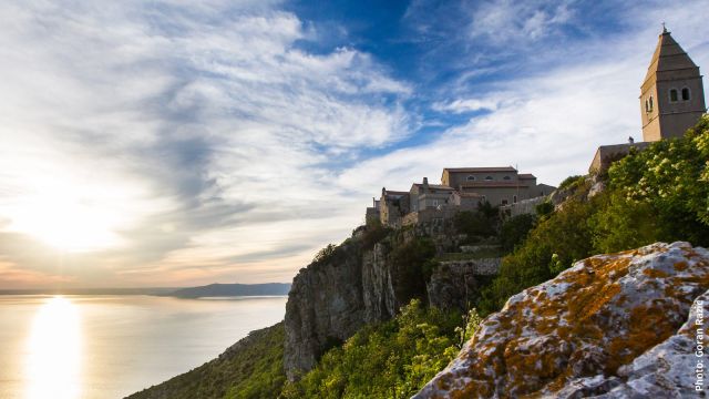
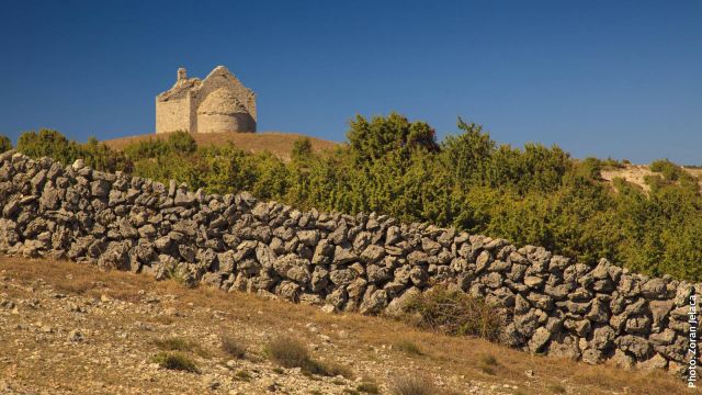
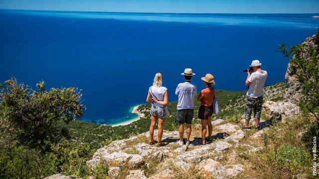
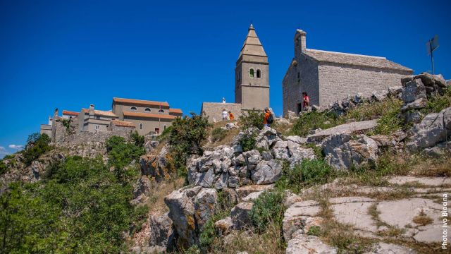
Turn towards the ferry port Brestova – Porozina from the road D66 on the section of the main EV8 route Nedešćina – Rijeka (DG4) to continue on the alternative island section of the main EV8 route. The section starts on the island of Cres. This is an opportunity to explore the largest Croatian island, located in the vast Kvarner Bay. Notable places on the island include the large freshwater lake called Lake Vrana, as well as the village of Lubenice, located on a high cliff above the sea. The steep cliffs of the village of Beli are one of the last havens and habitats of an extremely rare bird of prey – the griffon vulture, the symbol of the island. Cres is also known for its tradition of sheep farming, olive growing and beekeeping. Take the uphill road D100 to the intersection on the island reef and then continue to the town of Cres through Predošćica. On island roads, it is usually best to wait until most of the cars from the ferry have passed, and then enjoy a quiet ride and a spectacular view of the sea, bays and islands, as well as the scents of medicinal and aromatic herbs, permeating every corner of the island. The road D100 has some older portions which are quite narrow, whereas the reconstructed portions are quite wide and newly paved. On the way, you will come across the turning leading to the Merag ferry port, which connects the EV8 island alternative to the A2 section leading to the islands of Krk and Rab. The largest town on the island is the eponymous Cres, at the bottom of a deep, gentle bay. In the old town centre, you can find a veritable labyrinth of narrow streets, as well as the remains of the old town’s walls with three gates. There are numerous types of accommodation available in the town, which will surely be suitable for ending a day-long ride along this section.
|
|
km |
Description |
|
Section length |
|
29 km – land travel only (+ 17 km, portion of road DG 4) |
|
Asphalt/macadam ratio |
|
100/0% |
|
Total elevation: |
|
520 m |
|
Higher elevations |
3 |
First part of the island of Cres – 10 km, 4,5% = 450 m |
|
Supply options |
3 29 |
Section with no supply options on the road leading to Cres Brestova and Porozina, ferry port: coffee shop Cres: restaurants, stores |
|
Rest options |
24 |
Nature along the road Lookout “45th Parallel “– benches and a great view |
|
Accommodation options |
3 |
Porozina: rooms and apartments Cres: hotel, apartments, rooms, campsite |
|
Bicycle service |
29 |
Cres |
|
Ferry ride included |
3 |
Brestova – Porozina, 8-13 times a day, 20 min ride, Jadrolinija |
The alternative route A1 is part of the island portion of the main EuroVelo 8 route, consisting of the following 4 alternative sections: A1, A2, A3 and A4. The island portion splits from the route DG4 on the 17th kilometre, and joins it once again on the 23rd kilometre of the DG11 section.
|
Km |
Technical description of the section |
|
0 |
The island portion of the main EV8 route starts on the 17th km of the DG4 section Nedešćina – Rijeka. Road D402 splits right to the ferry port Brestova from the road D66. Signposts to Cres and the ferry. |
|
3 |
After a 3km downhill ride, the route reaches the ferry port Brestova. The ferry leads to Porozina on the island of Cres, where a long climb begins with road D100. The route passes through the small island villages of Dragozetić, Predošćica and Vodice. |
|
26 |
Continue straight at the intersection, following road D100 and the signpost for the town of Cres. |
|
28 |
The route splits right from road D100 and leads into the town of Cres. |
