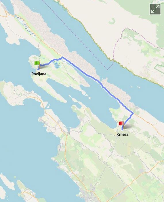
Povljana – Dinjiška (8 km) - Rtina (20 km) - Krneza (28 km) /Dionica 11 km 23/ - /Nin 43 km - Zadar 63 km/ |
|
distance 28.00 km |
|
start Povljana |
|
end Krneza |
|
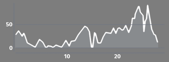
total climb 250.00 m |
|
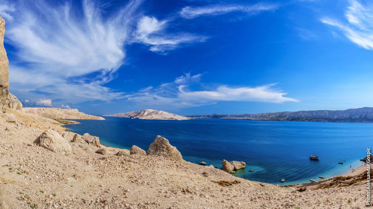
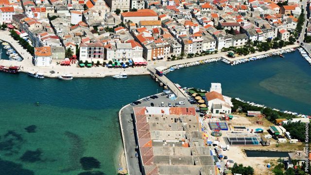
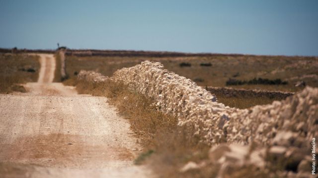
The route from Povljana starts at Ante Starčevića Street, then follows the road D108 to the turn for the Special Ornithological Reserve Veliko Blato and Dinjiška, from where you can continue through the karst landscape towards the wetland area. A distinct feature of Pag’s landscape are dry stone walls created by clearing hard-to-cultivate areas, carefully and skilfully stacking stones for various purposes: from natural land borders (meje) and solid walls resistant to the gale-force bora wind from the Velebit mountain range to providing shade for sheep in the summer heat. The horizon offers a sight of a great blue lake amid pure grey karst. You can follow the wooden signs and get off the road onto the macadam road leading to the lake. You will be leaving behind the unusual Veliko Blato wetland, which is about 2 km long and about 1.2 km wide. At the junction with the road from Vlašići, the route continues to the left towards Zadar (right for Vlašići), and then at the junction with the road D106, it continues right along the road towards Zadar. The route passes through the villages of Dinjiška and Miškovići and leads up a slightly winding road towards the Pag Bridge and then crosses it. From the lookout in front of the bridge, on your right you can see the Fort Fortica, which was used to control maritime traffic passing through the strait Ljubačka Vrata. You should then continue through the village of Rtina, which is the northernmost part of the mainland Dalmatia. The village is best known for the Church of St. Simeon the God-Receiver. You will also pass through the village of Škulići and then turn right from the road D106 towards Zadar. Here, the alternative A4 section connects to the section of the main DG11 route Maslenica – Zadar.
|
|
Km |
Description |
|
Section length |
|
28 to Krneza (additional 35 km on section 11 to Zadar) |
|
Asphalt/macadam ratio |
|
100/0% |
|
Total elevation: |
|
250 m |
|
Higher elevations |
25 |
1 km after getting off D106: a 10% gradient for 700 m |
|
Traffic density – moderate |
6-24 |
18 km on D106 |
|
Supply options |
8 20 |
Dinjiška: restaurant, coffee shop, store Rtina: restaurants, coffee shop, store |
|
Rest options |
8 12 20 |
Dinjiška: beach Miškovići: beach, benches by the sea Rtina: beach |
|
Accommodation options |
8 20 |
Dinjiška: apartments, rooms Rtina: hotel, apartments, rooms, campsite |
The alternative A4 route is part of the island portion of the main EuroVelo 8 route, consisting of the following 4 alternative sections: A1, A2, A3 and A4. The island portion splits from route DG4 on the 17th kilometre, and joins it once again on the 23rd kilometre of the DG11 section.
|
Km |
Technical description of the section |
|
0 |
The route leads out of Povljana along the same road D108. |
|
1 |
The route splits right from D108, following the signposts for Dinjiška and the Ornithological Reserve Veliko Blato. |
|
6 |
The route leads to the road D106 and continues right, passing through the villages of Dinjiška and Miškovići, over the Pag Bridge to the mainland and through the villages of Rtina Miletići, Vrankovići, Stošići, Lilići, Rtina Miočići and Škulići. |
|
24 |
After leaving Škulići, you should get off the D106 and turn right by following the signposts for Zadar. |
|
28 |
The route follows the road for another 4 km to Krneza, where it connects to the section DG11 of the main route and continues straight ahead. |
