Gospić – Lovinac (42 km) |
|
distance 42.00 km |
|
start Gospić |
|
end Lovinac |
|
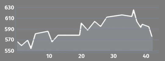
total climb 348.00 m |
|
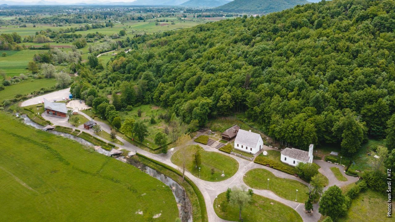
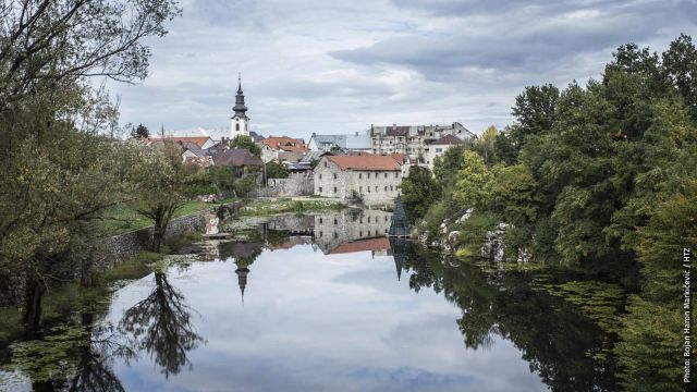
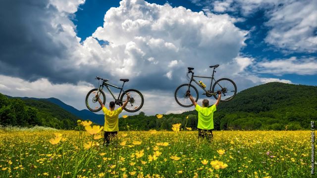
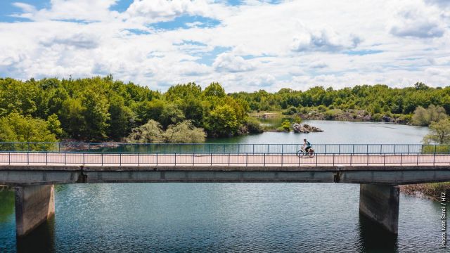
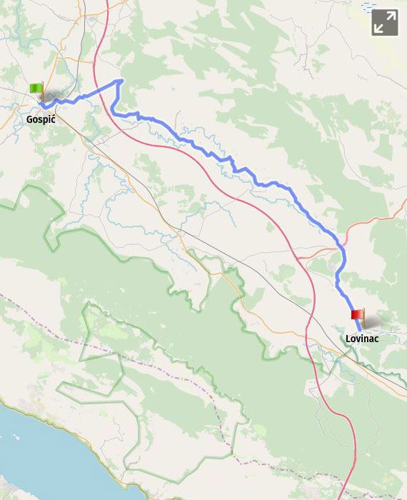
This section of the EV8 route leads from Gospić to the very south of Lika, where the municipality of Lovinac is located in the triangle of Gospić – Udbina – Gračac. The route passes through the area with very attractive natural landscape, thick and preserved woods, numerous karst phenomena, crystal clear water and environment, as well as natural and artificial lakes. It leads through the villages of Lipe, Ostrvica and Barlete along quiet local roads with several short macadam sections. The route passes through the Valley of the River Jadova, the largest tributary of the River Lika, which is streaming from a small mountain lake near Gornja Ploča. The idyllic landscape continues through the villages of Vrebac, Pavlovac Vrebački, Mogorić and Gornja Ploča, with a beautiful view of the meadows, fields and pasture grounds with herds of sheep. The attractive hill Zir (852 m) with its rocky peak rises in the middle of a plain. There is a pleasant ride downhill from Gornja Ploča towards the municipality of Lovinac, which includes large parts of the National Park Paklenica, such as the second highest mountain peak in Croatia – Sveto brdo (1751 m) and the Velebit Nature Park. This area abounds in lakes, both natural (karst) and artificial ones, like the accumulation lake in Štikada towards Gračac, or the accumulation of the River Opsenica in Sveti Rok, a favourite summer picnic place of local residents with a beautiful sandy beach. The place has a shop, a post office, a picnic site with a restaurant, and a hostel with the unforgettable view of the crest of Southern Velebit. It is recommended to go on a cycling trip on the road called Majstorska cesta, the first road which was built on mountain Velebit, opened for public back in 1832. It connected Lika and Dalmatia, from Sveti Rok over Mali Alan and the impressive stone galleries of the peak Tulove grede (1040 m) with the small town of Obrovac on the River Zrmanja.
|
|
km |
Description |
|
Length of the section |
|
42 km |
|
Proportion of asphalt/macadam |
|
94/6 % |
|
Total climb |
|
50 m |
|
Macadam lining – well rideable |
6 |
1 km between Gospić and Ostrvica |
|
Macadam lining – moderately rideable |
5 7 |
2 x 1 km between Gospić and Ostrvica |
|
Special warning |
10 11 |
The route runs past a 1-kilometre long mine suspected area. It is advisable not to get off the road and to obey the alert signs. |
|
Supply options |
24
42 |
There are no shops and restaurants along the section. In Mogorić, it is possible to get water from the locals. Lovinac: a shop (limited working hours), a cafe 4 km from Lovinac, there is the village of Sveti Rok with a hostel and a restaurant |
|
Accommodation options |
42 |
Lovinac: private accommodation Sveti Rok, 4 km after Lovinac: a hostel |
|
Train |
42 |
Lovinac |
|
km |
Technical description of the section |
|
0 |
The route exits Gospić along the street Ulica dr. Ante Starčevića, after the bridge turns to the left into the street Ulica 118. brigade HV-a, and immediately after the medical centre to the left again into Lipovska Street. |
|
2 |
After 1.5 km, while passing through the village of Lipe at the Y intersection, right turn under the railway line should be taken. 150 m after that, at the next Y intersection, turn to the left, and 350 m after that, turn to the right at the intersection. |
|
4 |
After 1.5 km, the route crosses the stream, which is followed by 3.5 km of a macadam stretch. |
|
8 |
The route in Ostrvica takes the asphalt road and continues to the right. |
|
13 |
At the crossroad in the village of Barlete (5.5 km from the beginning of the asphalt road in Ostrvica), left direction should be kept, and 250 m afterwards at the Y intersection, turn to the right following the signposts for Mogorić and Vrebac. All the way to Lovinac, the route retains its direction onto ŽC5164, ŽC5165 and D522, passing through the places of Vrebac, Mogorić, and Gornja Ploča and below the junction to the highway. |

